Preventing Flooding with BIM: Multidisciplinary Project Creates Room for a River

Extreme weather events have become a part of daily life for many countries across the globe. The low-lying Netherlands, in particular, is seeing an increase in flood activity and costly flood repair to its sensitive network of dike systems. Faced with a dilemma, the nation’s Ministry of Infrastructure and the Environment saw two possible solutions – give more room for the river or build higher dikes. It chose the former.
As part of the project, the Ministry identified 30 rivers across the Netherlands that would require a course correction. Each resides in an area that lies below the sea level and risks being flooded by six to seven meters of water in the event of heavy rain. But it was the project to transform the River Waal, which flows past the city of Nijmegen – the oldest city in the Netherlands – that attracted the most attention.
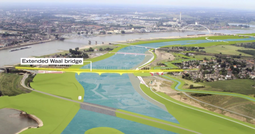
In 2012, the project contractor, iNFRANEA began the process of 39 waterway adaptations to the River Waal near Nijmegen involving new weirs, a dike relocation, new quays, new bridges and bridge extensions, and a new road infrastructure. As a result, instead of flowing passed Nijmegen, the river would be split into two channels, one which would soon flow through the city, instead of around it.
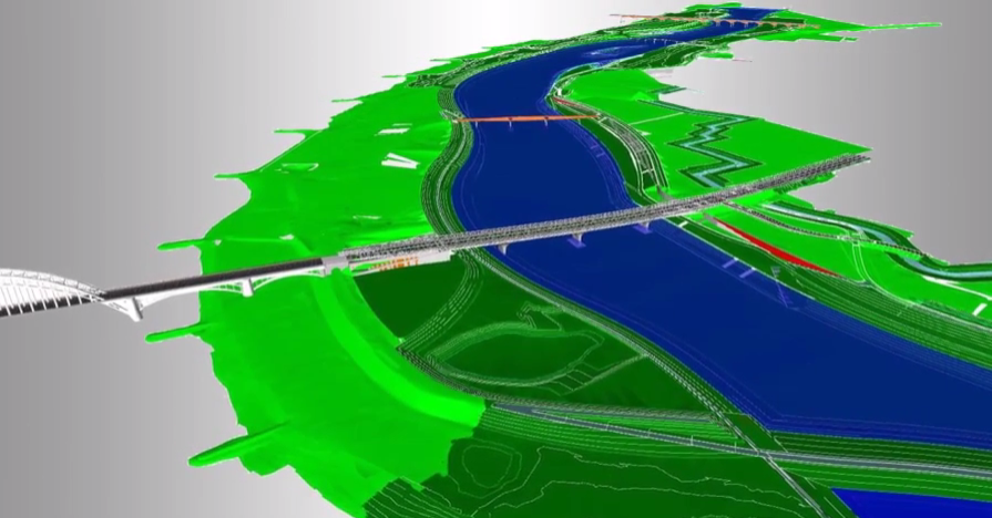
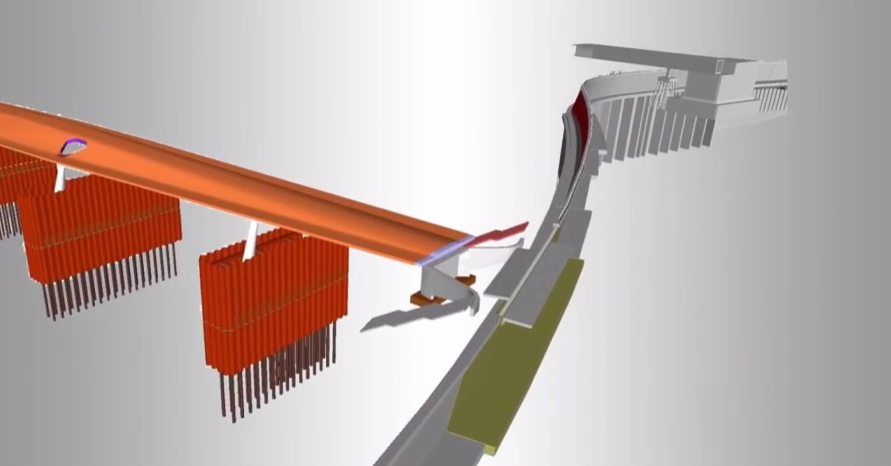
To model, coordinate, and plan each moving part of this complex operation iNFRANEA adopted BIM, using it to centralize and clash-verify 3D designs from 10 different engineering and construction firms across roadways, bridges, site development and channel dredging. The project combined the use of AutoCAD, Civil 3D, Revit, NavisWorks, 3ds Max, and BIM 360 (a cloud-based mobile service for coordination in the field). Autodesk Navisworks helped iNFRANEA to integrate, analyze and coordinate the designs from more than ten different disciplines.
Watch how the project unfolded here.


