Reality Capture: Design Government Projects in Context with Real-World, As-Built Data
Reality capture has been used in the digital design world for some time. And it’s a powerful asset. Using and incorporating data about the real world into their designs has enabled designers to draft and engineer within the context of the existing environment and infrastructures, rather than start with a blank screen.
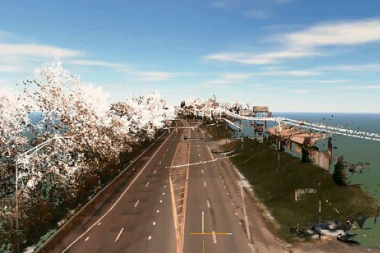
LiDAR is just one example of reality capture at work. But LiDAR has its challenges, including relying on sometimes costly scanning techniques (often by aircraft) and incorporating large LiDAR data sets (3D groups of points called a Point Cloud) into the planning and design process.
That’s not to say it isn’t possible. Autodesk software, for example, has allowed users to import LiDAR data for some years. However, manipulating and editing that data has been a time-consuming and uphill task due to the lack of tool sets available for actually working with the LiDAR data.
That all changed in 2014 with the introduction of Autodesk ReCap. With ReCap, designers, engineers, and builders can integrate data collected from laser scanners or digital cameras and transform it into as-built 3D data that can be manipulated in other products such as Revit, AutoCAD, Civil 3D, 3ds Max, and Inventor.
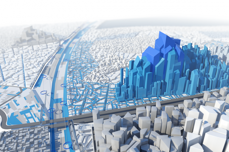
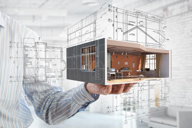
Autodesk ReCap is essentially a front-end application for processing, reviewing, and editing the scanned data. With the advent of preliminary design software, such as Autodesk InfraWorks 360, the captured structures and terrain models can even be incorporated for easier visualization and communication of design intent – with full photo-quality. Check out how it fits into workflows such as building renovation, infrastructure design, and more, here.
By bridging the gap between laser scans and photos, ReCap brings a number of benefits to design teams including visual fidelity, enhanced design context, reduced ambiguity, and time saving.
Check out some of the projects completed with ReCap below and join DLT and IMAGINiT Technologies as we present an overview of the latest trends and benefits of reality capture for your projects. Register here.
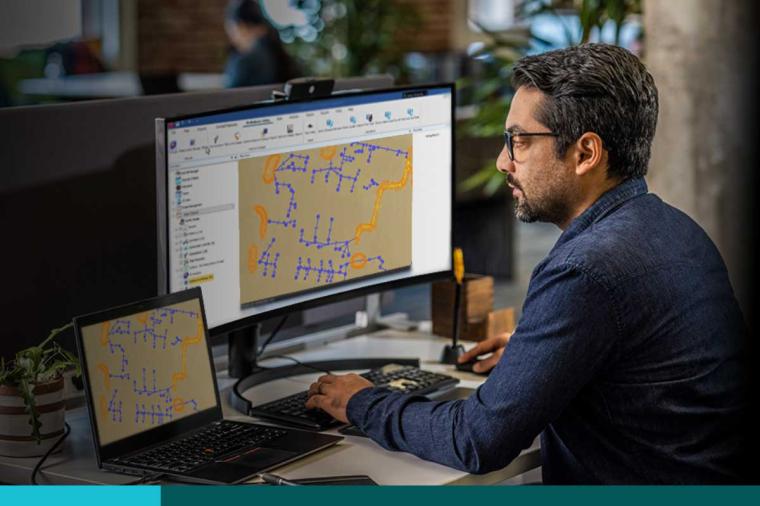
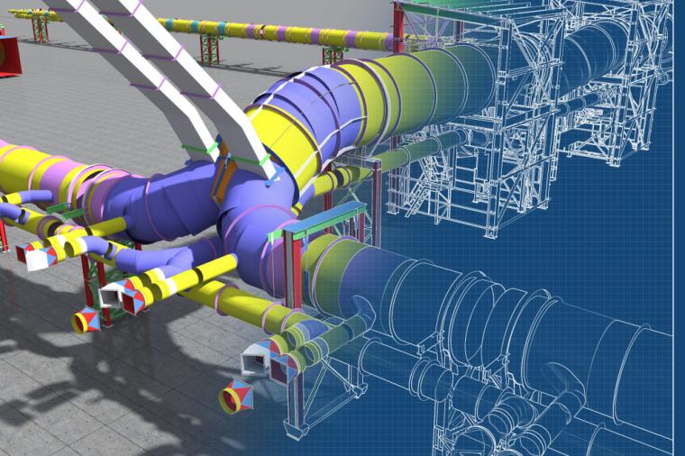
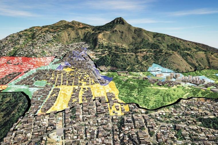
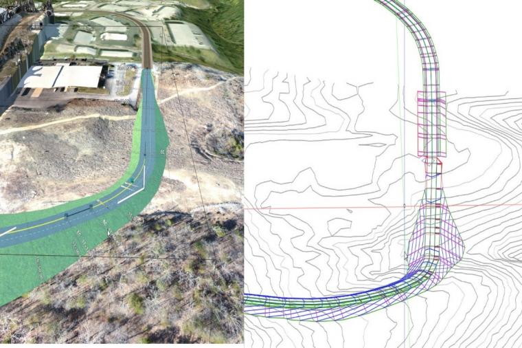
Atlas Engineering Group increase stakeholder buy-in through use of visualization and fly-throughs created from point clouds and 3D models. Autodesk ReCap helps create accurate as-built information where existing legacy information is poor quality, out of date, or unavailable. Learn more. Image courtesy of Autodesk.
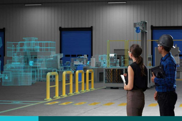
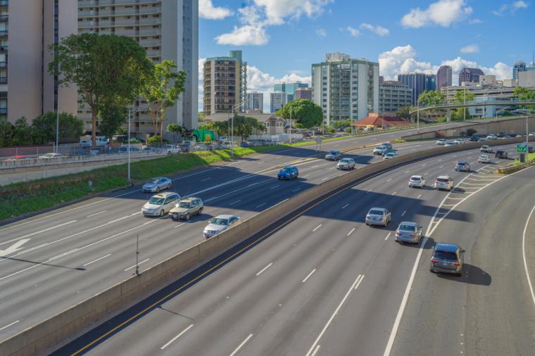
NASA captures a complex site in 4 weeks instead of 16 weeks, by using ReCap 360 Pro. Learn more. Image courtesy of Autodesk.
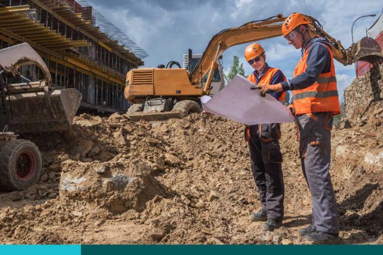
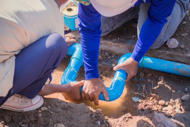
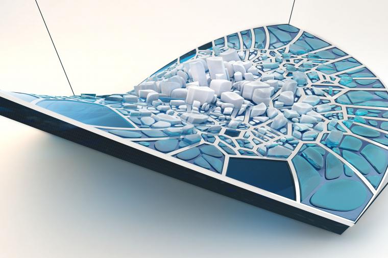
Anchorage Municipal Light & Power. Capture underground vault to reduce risk and costs and for better collaboration. Learn more. Image courtesy of Autodesk.
Featured image of the U.S. Air Force Academy (USAFA) Cadet Chapel, courtesy of Autodesk and the USAFA.
Related Blog Posts